Interactive Atlas: Gazetteer of Kashmír (1873)
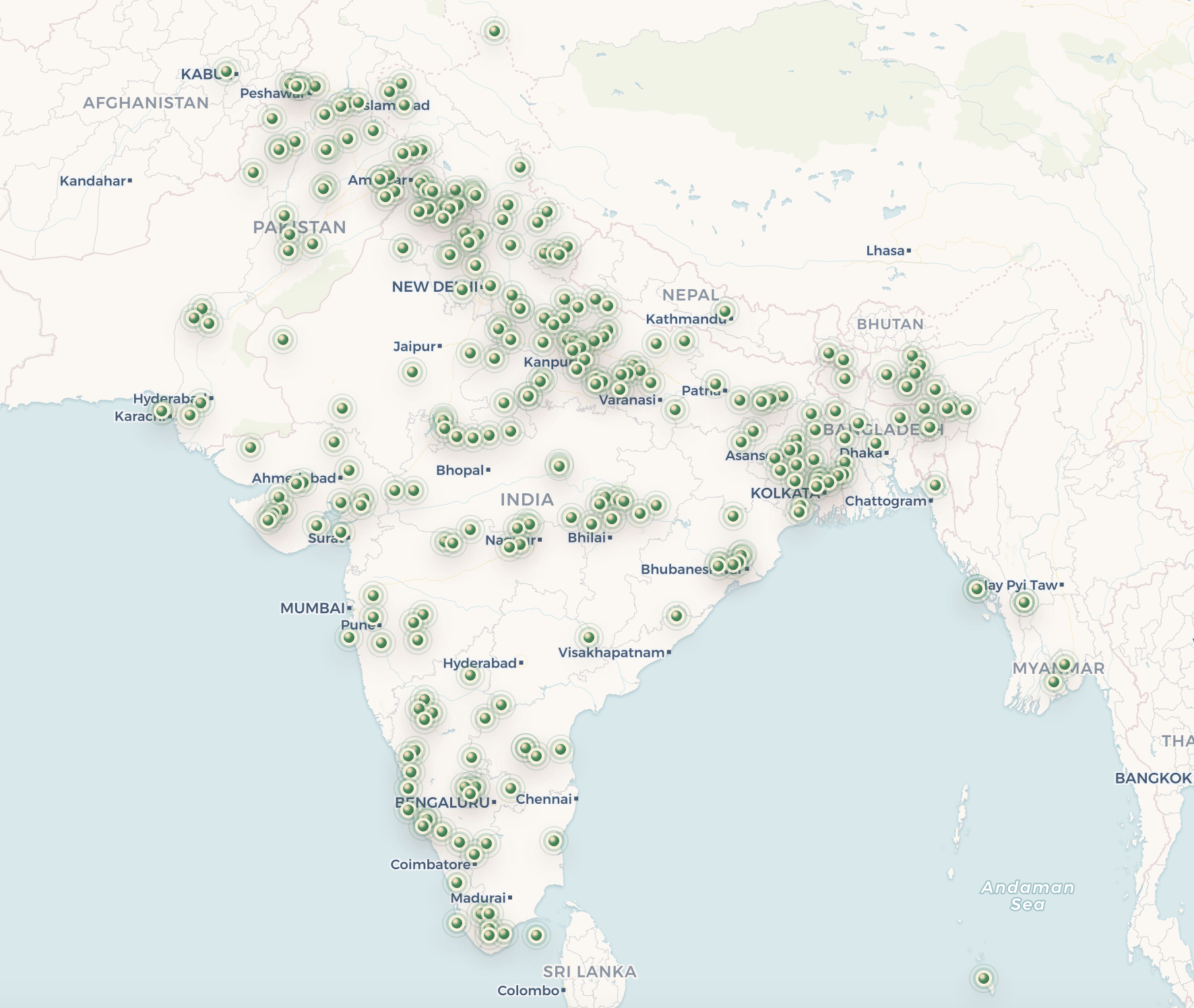
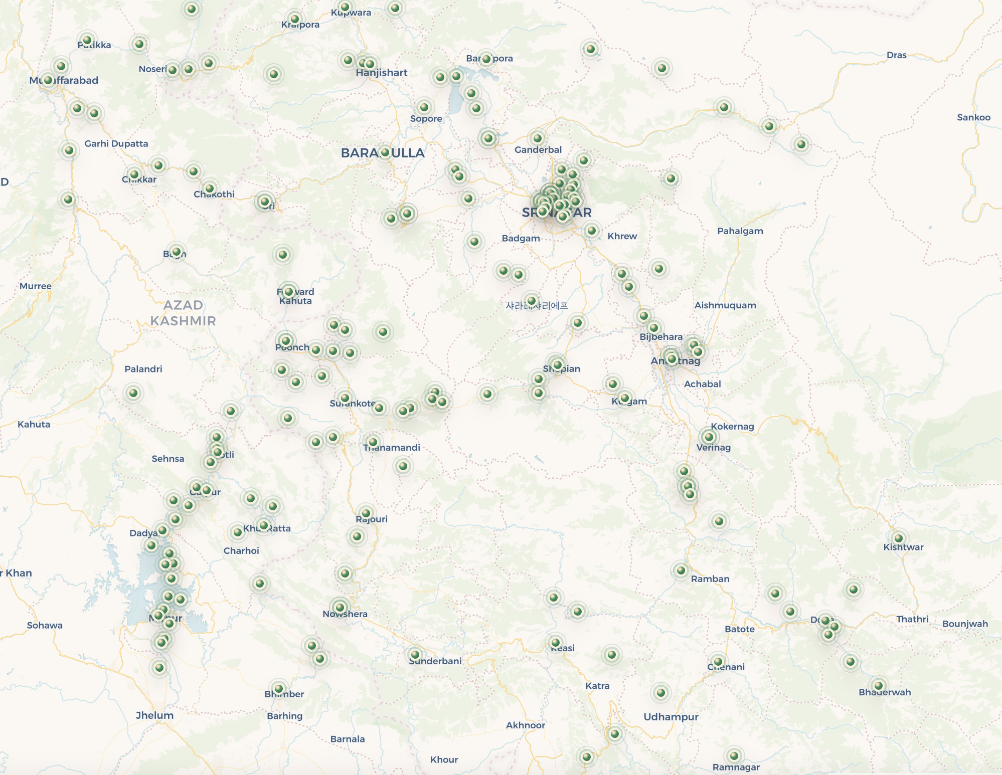
This project maps places from Charles Ellison Bates’s 1873 Gazetteer of Kashmír, a colonial reference work covering Kashmir and adjacent districts including Kishtwar, Badrawar, Jammu, Naoshera, Poonch, and the Kishenganga valley. The gazetteer was compiled for political and military reference, and its accompanying map drew on the Great Trigonometrical Survey of India under Colonel J. T. Walker.
Each point on this map begins as a historical place-name from the gazetteer. Because spellings, boundaries, and administrative names have changed, entries are matched to modern locations only when the evidence is strong enough. The original excerpt is preserved, while the modern pin reflects a reviewed present-day equivalent.