
Imperial gazetteer project
Interactive Atlas: The Imperial Gazetteer of India (1881)
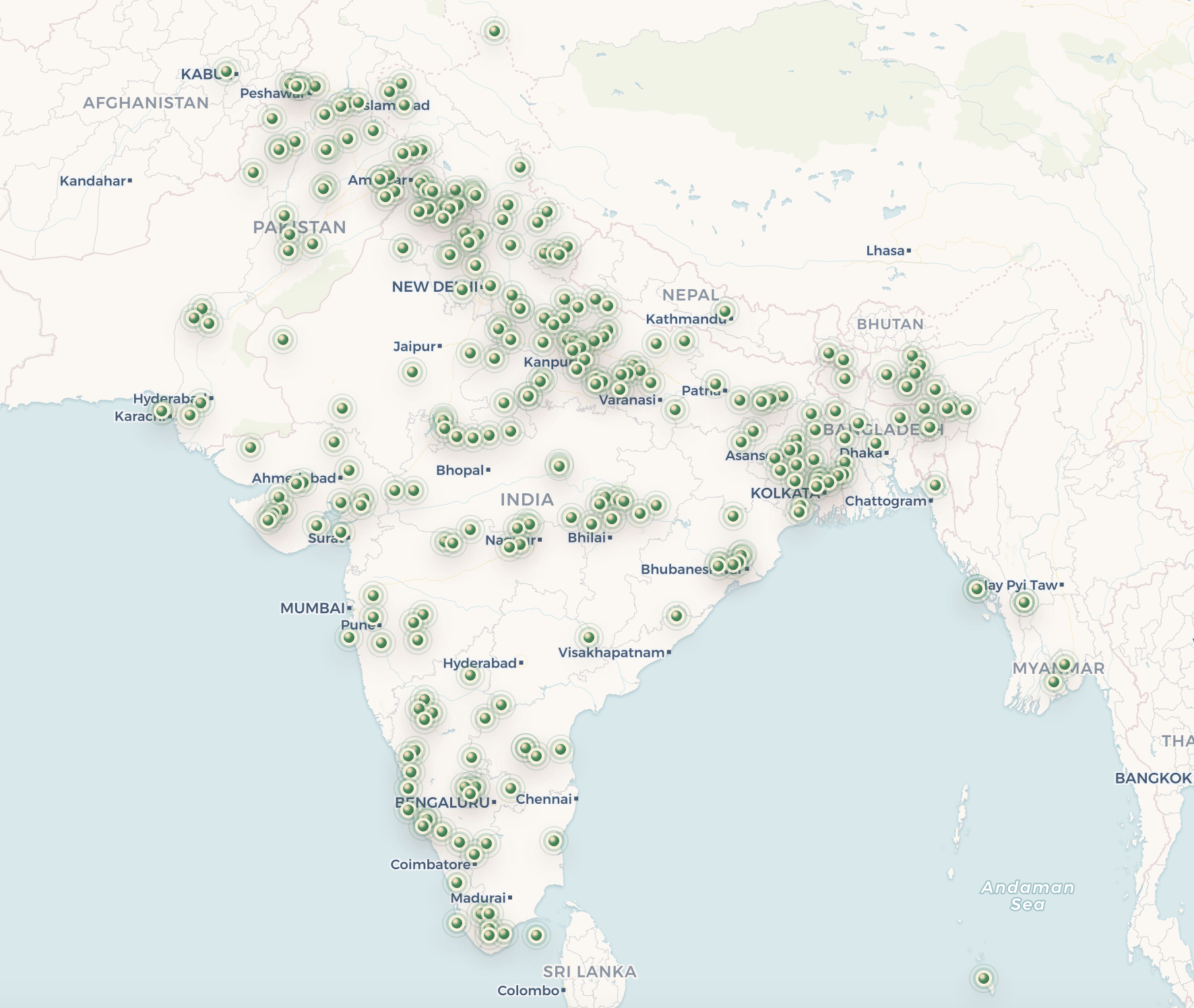
A read-only public map of 301 human-approved places from three volumes of The Imperial Gazetteer of India, with source excerpts and cross-volume references.
The source collection
This release uses Volume 5 (J–K), Volume 7 (N–R), and Volume 8 (R–T) of William Wilson Hunter’s nine-volume first edition of The Imperial Gazetteer of India, published in 1881. The volumes contain places, administrative units, physical features, population figures, historical descriptions, and long regional articles.
Extraction and review
OCR layout blocks are retained as evidence, then converted into structured gazetteer records. Automated candidate searches assist research, but no modern location is published until a human reviewer approves the match and its coordinates.
Release policy
The public atlas is read-only. It shows only approved, geolocated records and links source-text references only to other approved records. Preliminary entries, source-coordinate guesses, location candidates, and editing controls are excluded from the release interface.
Reading the records
Each public record preserves the verbatim source excerpt, page reference, reviewed map location, evidence link, nearby approved places, and hyperlinks to approved gazetteer entries mentioned in the text. Historical terminology is retained as source evidence.