
1873 gazetteer project
Interactive Atlas: Gazetteer of Kashmír (1873)
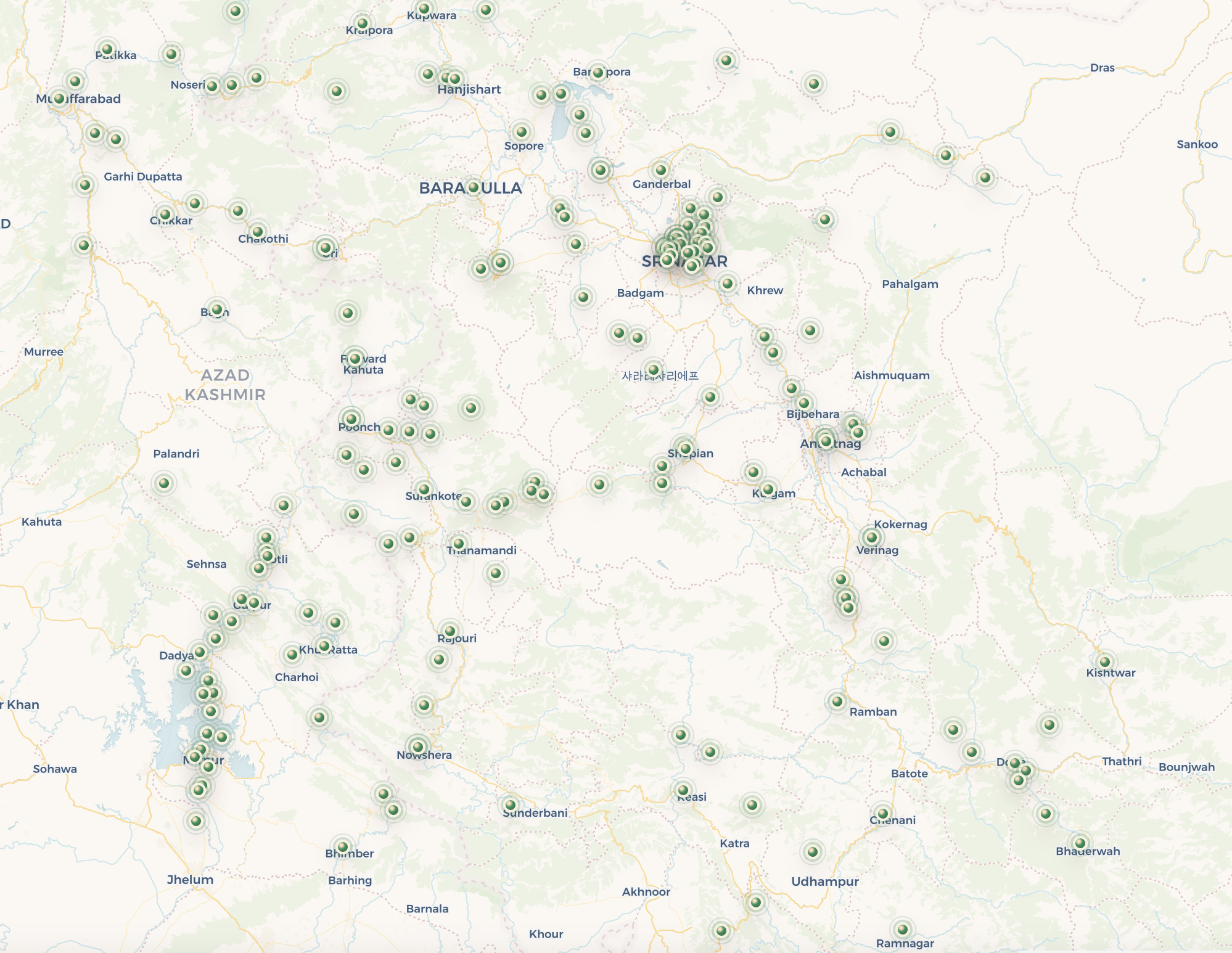
A reviewed historical atlas of 301 places described by Charles Ellison Bates across Kashmir, Jammu, Poonch, Kishtwar, Badrawar, Naoshera, and the Kishenganga valley.
The source
The project is based on Charles Ellison Bates’s 1873 Gazetteer of Kashmír, compiled for colonial political and military reference. Its entries preserve nineteenth-century spellings, routes, administrative descriptions, landmarks, and local geographical knowledge.
How the atlas was built
Scanned pages were processed with assisted OCR and structured extraction. Historical names were researched against modern geography, maps, and supporting references. A location appears on the public map only after human review confirms that the modern site fits the source description.
What each record contains
Records pair the verbatim gazetteer excerpt with its source page, historical name, feature labels, reviewed modern location, evidence links, nearby atlas places, and internal cross-references to other confirmed entries.
Research note
Historical names and territorial descriptions reflect a nineteenth-century source and do not imply present-day political boundaries. Matches can still contain errors; the source text and evidence are retained so readers can evaluate each identification.